UN
13 Vale Road
£ 114,000
Description
We don't have a Description for this property.
- Bedrooms
- 2
- Bathrooms
- 0
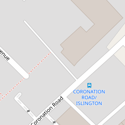
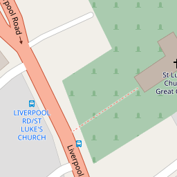

Leaflet © OpenStreetMap contributors
The heatmap indicates the level of crime in the area. The color of the heatmap indicates the crime severity and recency.
Metrics Year-on-Year
- Average area value
- 297,414.00 £Increased by 1.41 %
- Average area rental value
- 1,297.00 £/moIncreased by 5.96 %
- Est rental Yield
- 5.23 %Increased by 4.39 %
- Crime Rate
- 14.00 %Unchanged by 0.00 %
from 293,278.00 £
from 1,224.00 £/mo
from 5.01 %
from 14.00 %
Nearby Schools
| Name | Type | Ofsted | Distance |
|---|---|---|---|
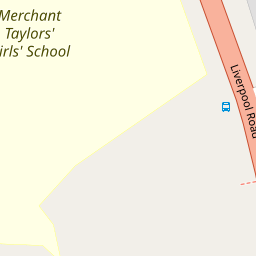
| Merchant Taylors' Girls' School | Other Independent School | 0.12 KM | |
| St. Mary'S College | Other Independent School | 0.21 KM | |
| Sacred Heart Catholic College | Voluntary Aided School | Requires improvement | 0.32 KM |
| St Luke'S Halsall Church Of England Primary School | Voluntary Aided School | Good | 0.40 KM |
| Merchant Taylors' Boys' School | Other Independent School | 0.73 KM |
Images
Nearby Streets
| Name | Average Price | Average Sqft | Distance |
|---|---|---|---|
| Moor Lane | £ 0 | 0 | 0.00 KM |
| Mayfair Avenue | £ 0 | 0 | 0.00 KM |
| Tudor Road | £ 340,000 | 0 | 0.00 KM |
| Belvidere Road | £ 500,000 | 0 | 0.00 KM |
| Wembley Road | £ 0 | 0 | 0.00 KM |
Nearby Transport
| Name | NLC | TLC | Distance |
|---|---|---|---|
| Blundellsands And Crosby | 2123 | BLN | 1.49 KM |
| Waterloo (Merseyside) | 2133 | WLO | 1.69 KM |
| Hall Road | 2229 | HLR | 2.67 KM |
| Seaforth And Litherland | 2250 | SFL | 3.53 KM |
| Hightown | 2356 | HTO | 5.14 KM |
Nearby Listings
| Address | Price | Type | Score | Distance |
|---|---|---|---|---|
| Coronation Road, Liverpool | £ 120,000 | BUY | 5 / 10 | 0.03 KM |
| Vale Road, Crosby, L23 | £ 190,000 | BUY | 6 / 10 | 0.04 KM |
| St. Lukes Road, Crosby, Liverpool | £ 350,000 | BUY | 8 / 10 | 0.04 KM |
| St. Lukes Road, Liverpool | £ 229,995 | BUY | Unknown | 0.05 KM |
| St. Lukes Road, Liverpool | £ 240,000 | BUY | 6 / 10 | 0.06 KM |
Nearby Properties
| Address | Price | Distance |
|---|---|---|
| 49 Vale Road | £ 210,000 | 0.00 KM |
| 23 Vale Road | £ 95,000 | 0.00 KM |
| 65 Vale Road | £ 175,000 | 0.00 KM |
| 41 Vale Road | £ 39,000 | 0.00 KM |
| 63 Vale Road | £ 169,000 | 0.00 KM |